
Which part of South-West Hyderabad is Kismatpur
Kismatpur lies on the south-west edge of Hyderabad, in Gandipet mandal of Ranga Reddy district. It sits just north of Himayat Sagar lake. Bandlaguda Jagir lies to its east, and Appa Junction on the ORR lies to its west. It was one of five villages that came together as one town council. In late 2025, the state approved moving that council into the city corporation, GHMC.
If you are new here, think of it as the land between the old city and the ORR. This guide explains where it sits, its pincode, who runs it and which areas lie around it.
Kismatpur Location Facts
| Detail | Information |
|---|---|
| State | Telangana |
| District | Ranga Reddy |
| Mandal | Gandipet |
| Earlier civic body | Bandlaguda Jagir Municipality (formed from five villages, including Kismatpur) |
| Current civic body | Greater Hyderabad Municipal Corporation, after the 2025 merger |
| Area | About 4.17 sq. km |
| Population (2011 Census) | About 7,288 |
| Pincode | 500086 (some listings show 500030) |
| Nearest lake | Himayat Sagar |
| ORR access | Appa Junction |
Kismatpur's Neighbours by Direction
| Direction | Neighbouring Areas |
|---|---|
| North | Gandamguda, Peeramcheruvu, Hydershakote |
| East | Bandlaguda Jagir, Rajendranagar |
| South | Himayat Sagar lake, Kothwalguda |
| South-east | Budvel |
| West | Appa Junction and the Outer Ring Road |
| North-west | Narsingi and Manikonda, across the ORR side roads |
This spot explains a lot about the area. Attapur brings the old city close, and the ORR opens a route west to the IT belt.
Kismatpur Pincode Explained
Most postal lists place Kismatpur under pincode 500086, the same as Bandlaguda Jagir. Some property sites show 500030, which belongs to Rajendranagar. Before you fill in a form, check the pincode for your street with India Post.
From Village to GHMC: How the Civic Status Changed
It started out as a small village council in the old Rajendranagar mandal. In 2016, the state created Gandipet mandal, and Kismatpur moved into it. Later, the state joined it with four nearby villages to form one town council. The council took its name from Bandlaguda Jagir, the largest of them.
In November 2025, the state cabinet approved merging 27 towns around the ORR into GHMC. This area's council was one of them. For residents, this can bring city-level planning, better roads and drains, and city-run services over time.
Main Roads Through Kismatpur
Three road links shape daily life in Kismatpur.
- Kismatpur Road runs east to Bandlaguda Jagir and on towards Attapur and the old city.
- The Himayat Sagar road leads west to Appa Junction and the ORR.
- NH-163, or Chevella Road, runs close by and links the city to Moinabad and Chevella.
The road from Bandlaguda Jagir to Kismatpur will grow from about 30 feet to 100 feet wide. The ₹161 crore job moved to a new state agency, HACL, in August 2026.
How Far Kismatpur Is From Key Places
| Place | Approximate Distance |
|---|---|
| Attapur | About 8 km |
| Mehdipatnam | About 10 to 13 km |
| Financial District | About 14 km |
| Raidurg | About 16 km |
| Gachibowli and HITEC City | About 17 km |
| Rajiv Gandhi International Airport | About 20 to 22 km |
| Shivrampally railway station | About 10 km |
| Budvel railway station | About 12 km |
*Distances are approximate road figures from local listing data and can vary by route.
How Kismatpur Compares With Its Neighbours
Each nearby area has a slightly different feel, so it helps to know how they differ.
| Area | What It Is Like |
|---|---|
| Kismatpur | Calm, green, close to the lake, with villas and gated flats |
| Bandlaguda Jagir | Busier, with more shops, schools and older colonies |
| Narsingi | Pricier, with big towers close to the IT belt |
| Rajendranagar | Older area with farm research campuses and government offices |
| Budvel | Open land set aside for new offices and roads |
If you want quiet and open views, Kismatpur stands out. If you want shops at your door, Bandlaguda Jagir may suit you better.
Why Kismatpur's Location Appeals to Buyers
Kismatpur gives you lake views and open space without moving far out of the city. The ORR keeps the airport and IT belt within a fair drive. Attapur and Mehdipatnam bring the old city close as well. Prices also sit below the busier western suburbs, which draws many families here.
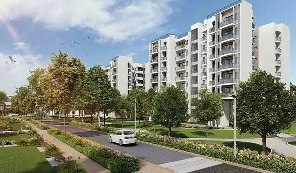
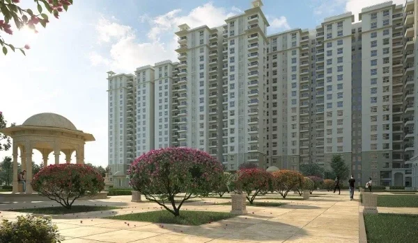
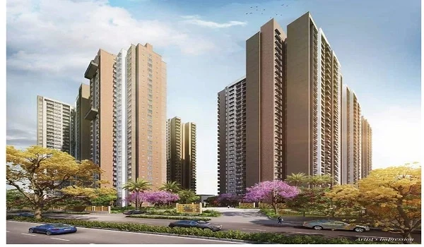
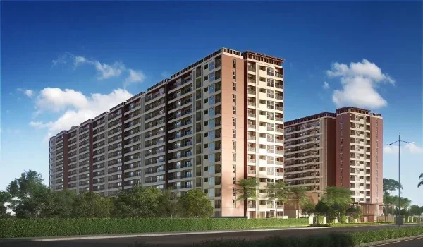
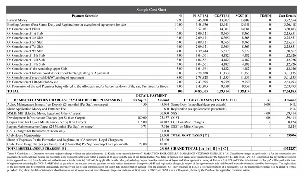
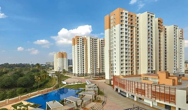
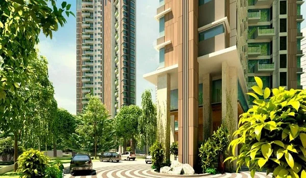
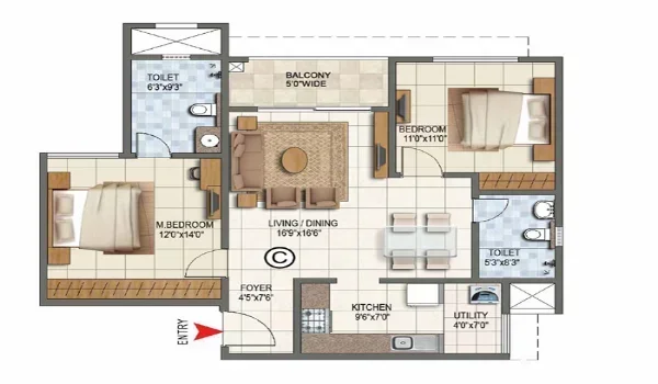
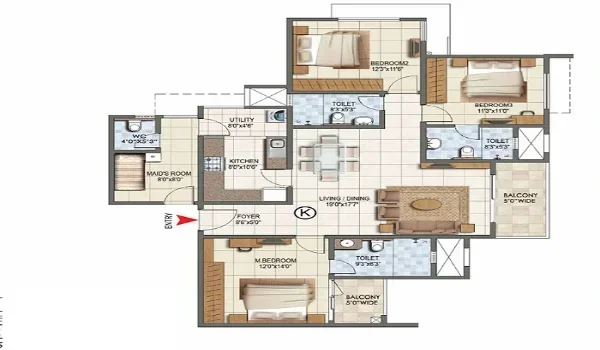
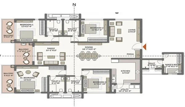
SOBHA Limited has chosen this pocket for its upcoming Sobha Amara. The project plans 816 homes in two G+56 towers, with direct access to NH-163. It offers 2, 3 and 4 BHK homes, with the 2 BHK from about ₹1.61 Cr*. SOBHA plans to launch in November 2026 and hand over homes by December 2029.
*Indicative pricing, subject to change and developer confirmation.
FAQs
It sits in Ranga Reddy district of Telangana. It falls under Gandipet mandal, on the south-west edge of the city.
Most postal listings show 500086 for Kismatpur, the same as Bandlaguda Jagir. Some portals list 500030, so check your exact street with India Post.
It was part of a town council that the state approved for merger into GHMC in late 2025. So, over time, the city corporation will run its civic services.
Yes, Kismatpur sits on the inner side of the ORR. It connects to the ring road at Appa Junction, just to the west.
Its closest neighbours are Bandlaguda Jagir to the east and the lake to the south. Narsingi, Rajendranagar and Budvel also sit nearby.
Kismatpur is about 10 to 13 km from Mehdipatnam, depending on your route. The drive passes through Bandlaguda Jagir or Langar Houz.